Prescott Elevation
The official elevation of Prescott is 5,367 ft (1,635 m).
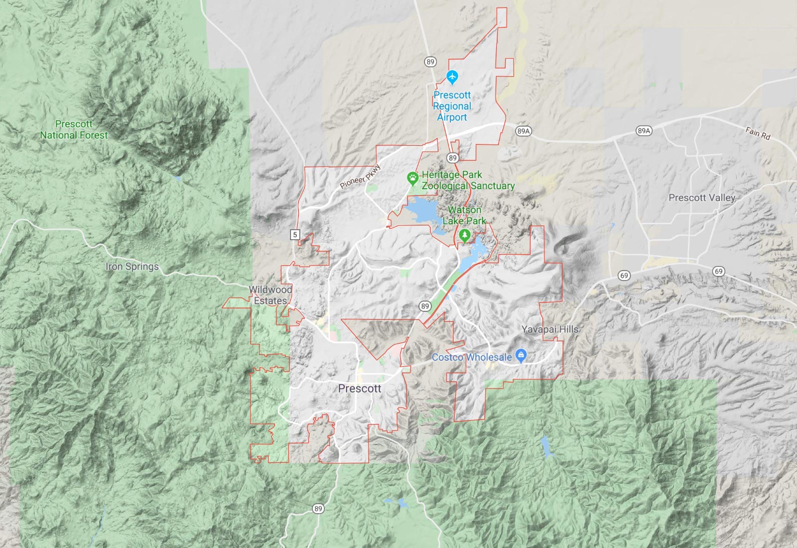
It is surrounded by the Bradshaw mountains, so some neighborhoods are higher, while some are lower.
It’s easy to get to over 6,000 feet just outside of town, by driving South or West, up into the mountains.
To be higher, go to Mt. Union. It’s a high point to the South at 7,900 feet. Travel to Groom Creek, a mountain community at 6,200 feet.
Out to the East is Prescott Valley, which is much flatter and averages about 5,000 feet.
Up North, is Chino Valley at 4,700 feet. It’s also in a flatter area.
Snow levels and temperatures vary primarily depending on elevation, so the higher you go, the colder and more snow you will get.
The Yavapai County map shows elevations, among other things.
Tip: Click on the “Map Layers” tab, then turn on the “Land Features” contours. Zoom in to whatever area you are interested in.
Google Maps has a “Terrain” option in the left hand menu. Prescott in Google Maps


